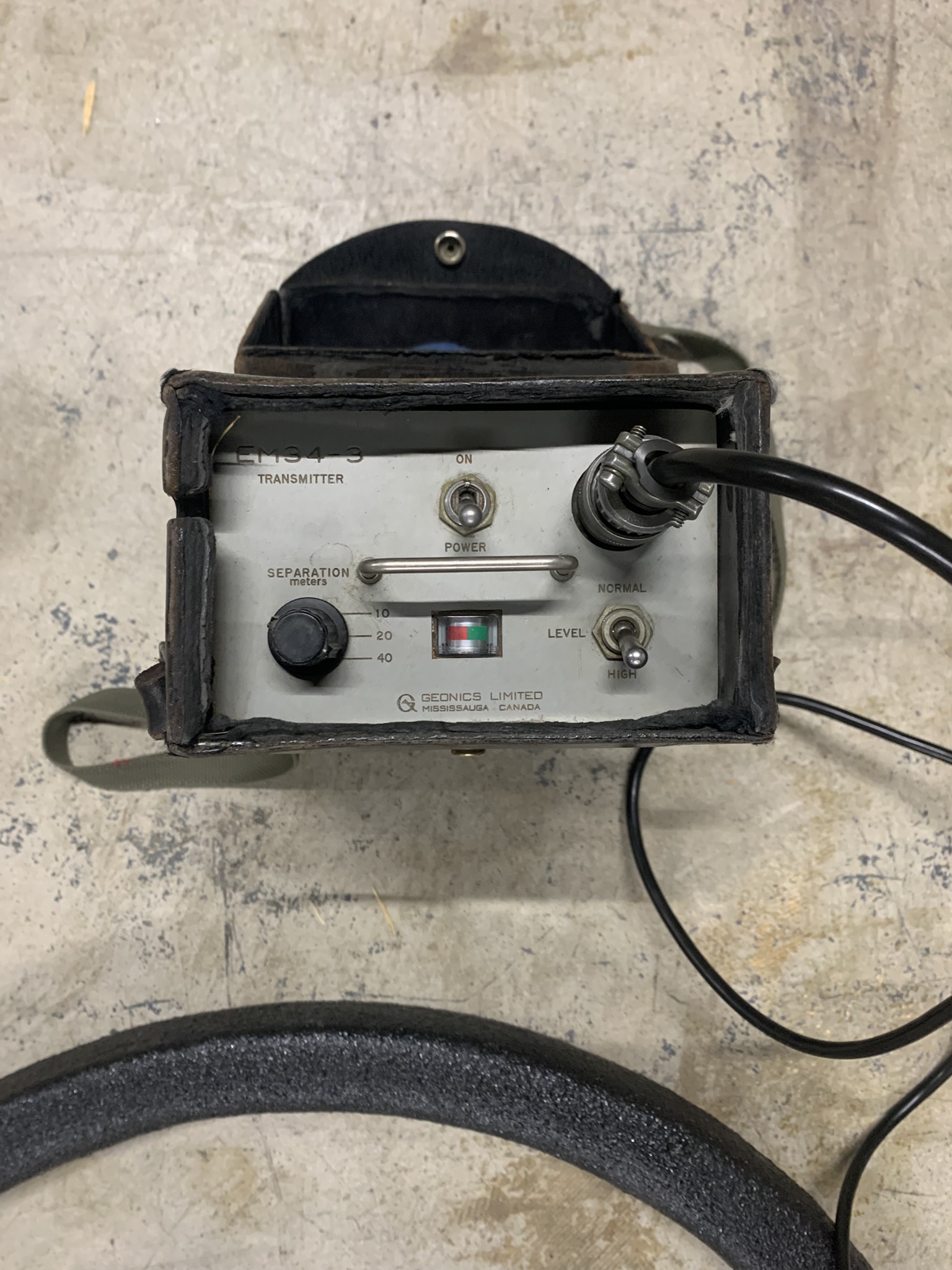
Electromagnetic Geonics EM-34 Conductivity Meter
#101110
Included Accessories: Transmitter, Receiver, (2) coils, (3) cables - 10m,20m,40m
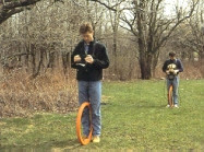
The EM34-3 is a simple-to-operate, cost-effective instrument for the geologist and hydrogeologist alike; applications have been particularly successful for the mapping of deeper groundwater contaminant plumes and for the exploration of potable groundwater resources.
Using the same inductive method as the EM31-MK2, the EM34-3 uses three intercoil spacings - 10, 20 and 40 m - to provide variable depths of exploration down to 60 metres. With three intercoil spacings and two dipole modes (horizontal as shown, and vertical) at each spacing, vertical soundings can be obtained. In the vertical dipole (horizontal coplanar) mode, the EM34-3 is very sensitive to vertical geologic anomalies and, as a consequence, is widely used for groundwater exploration in fractured and faulted bedrock.
If you anticipate making measurements at the 40m spacing in areas of cultural noise, you should consider using the EM-34 XL, which was designed to produce greater signal for that kind of application.
The EM34-3 is capable of logging data into a digital data logger such as the Juniper Systems Archer along with associated gps positioning data.
Specifications
MEASURED QUANTITIES
Apparent conductivity in millisiemens per metre (mS/m)
PRIMARY FIELD SOURCE
Self-contained dipole transmitter
SENSOR
Self-contained dipole receiver
REFERENCE CABLE
Lightweight, 2 wire shielded cable
INTERCOIL SPACINGS and
OPERATING FREQUENCY
10 m at 6.4 kHz
20 m at 1.6 kHz
40 m at 0.4 kHz
POWER SUPPLY
Transmitter: 8 disposable or rechargeable
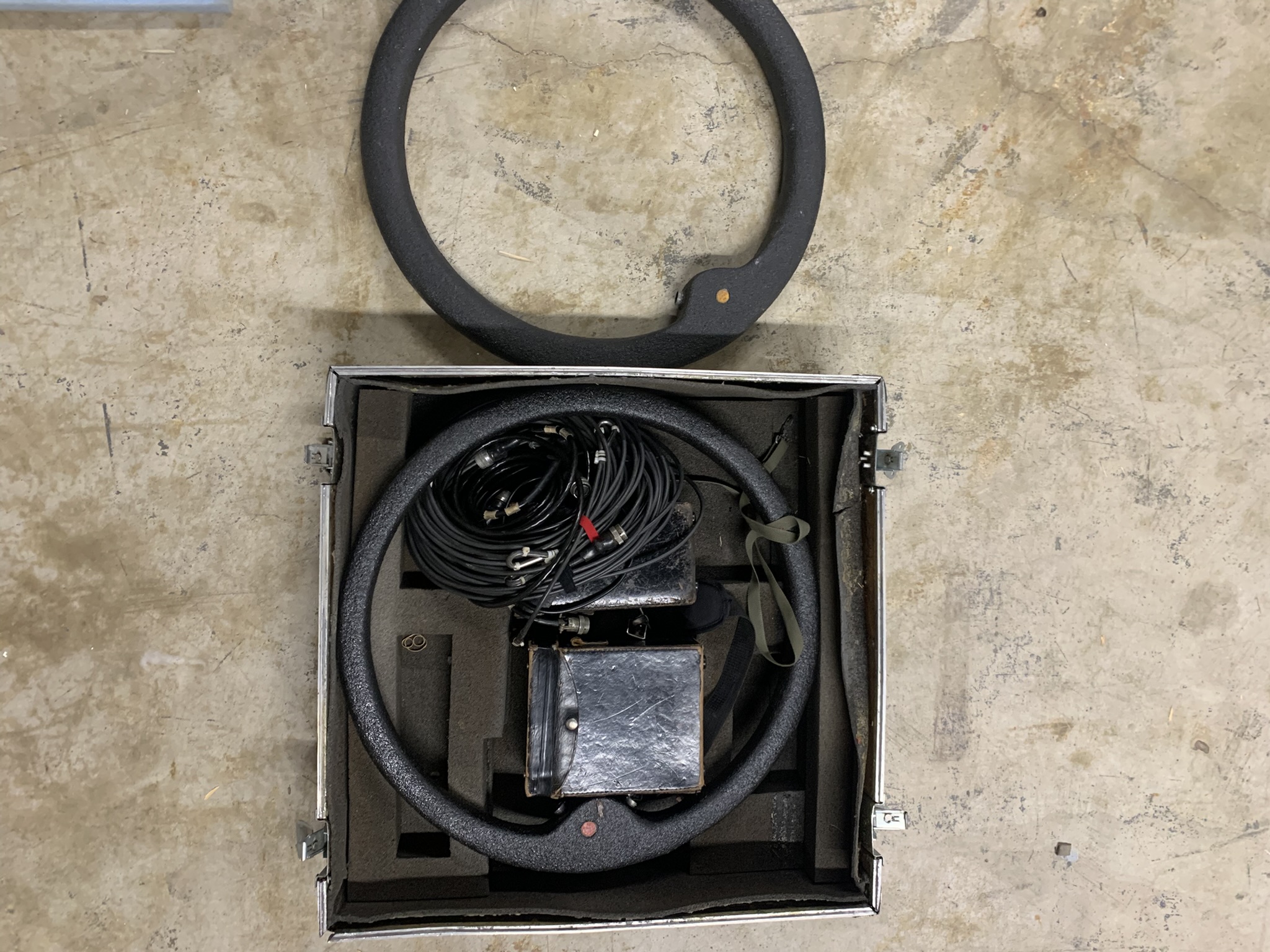
29 X 29 X 11 inches
88 lbs
$7,000.00
Ask a question about this item
*(Does not include shipping or insurance)