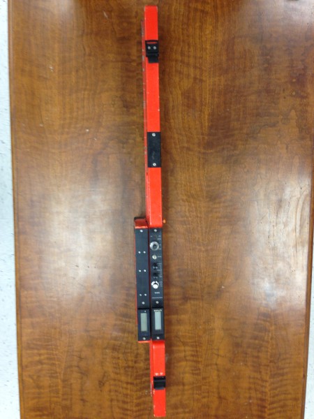
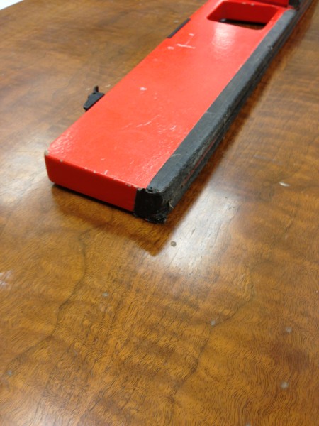
Environmental Geonics EM-38 B with real-time conductivity and in-phase logging.

#101141
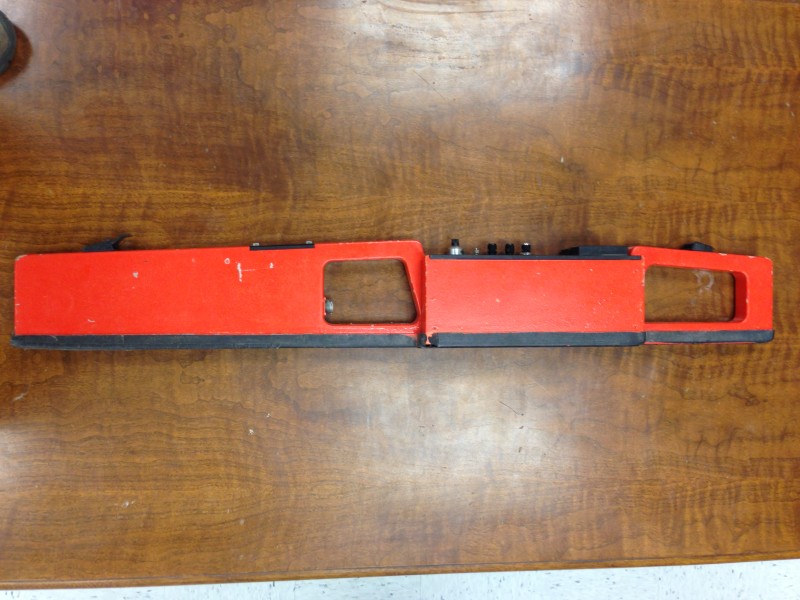
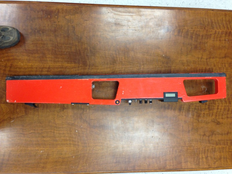
Designed for relatively shallow applications - specifically within the agricultural root zone - the EM38 provides measurement of ground conductivity (quad-phase) and magnetic susceptibility (in-phase) within two effective depth ranges: 1.5 m in the vertical dipole mode (shown above); and 0.75 m in the horizontal dipole mode; though only for one at a time. For any one measurement, the standard EM38 provides measurements of either quad-phase (conductivity) or in-phase (magnetic susceptibility) component data, as selected by the operator. Comparatively, the EM38B provides simultaneous measurement of both phase components, at all times (just like an EM31). For surveys which include measurement of both components - common for archaeological investigations - the EM38B significantly reduces the amount of time required. The EM38B was a significant improvement over the original EM38 single-measurement model by providing both measurements in the same basic form without the added weight and cost of the MK2.
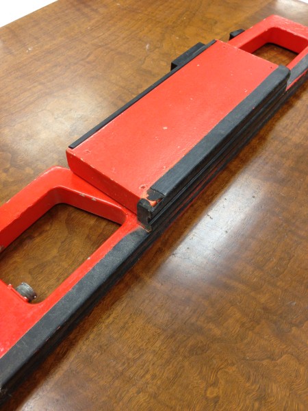
Very lightweight and only one meter long, the EM38 provides rapid surveys with excellent lateral resolution. In the classic deployment, measurement is generally made by placing the instrument on the ground and recording the indicated reading; digital meters are located on the top and side of the EM38 for the horizontal and vertical dipole measurements, respectively. Either a continuous or stationary measurements can be obtained from a standing position using the optional extender arm or strap with cable connection to a data acquisition system. In this mode of operation, several thousand data points can easily be obtained in one hour.
The EM38 has proven to be useful for many near-surface applications, including archaeology, wherein use can also be made of the information available in the measurement of soil magnetic susceptibility. For agricultural applications, measurement of ground conductivity is particularly useful for the mapping of variations in important soil properties such as salt and soil moisture content.
Note: Be careful of EM-38 units for sale on eBay and other sites. Many will state that they are digital devices but close examination will show that the EM unit can display digital data on the displays but only produces analogue data through a data port via cable to an old Omnidata 720 logging device. In this configuration, the data logger transforms the analogue data into digital data. Those old Omnidata loggers were obsolete 20 years ago and if it stops working for any reason the EM device can only display numbers on the screen without ability to record them. The EM-38 listed here produces digital data directly from the instrument and can be recorded on any data logger capable of receiving that digital data.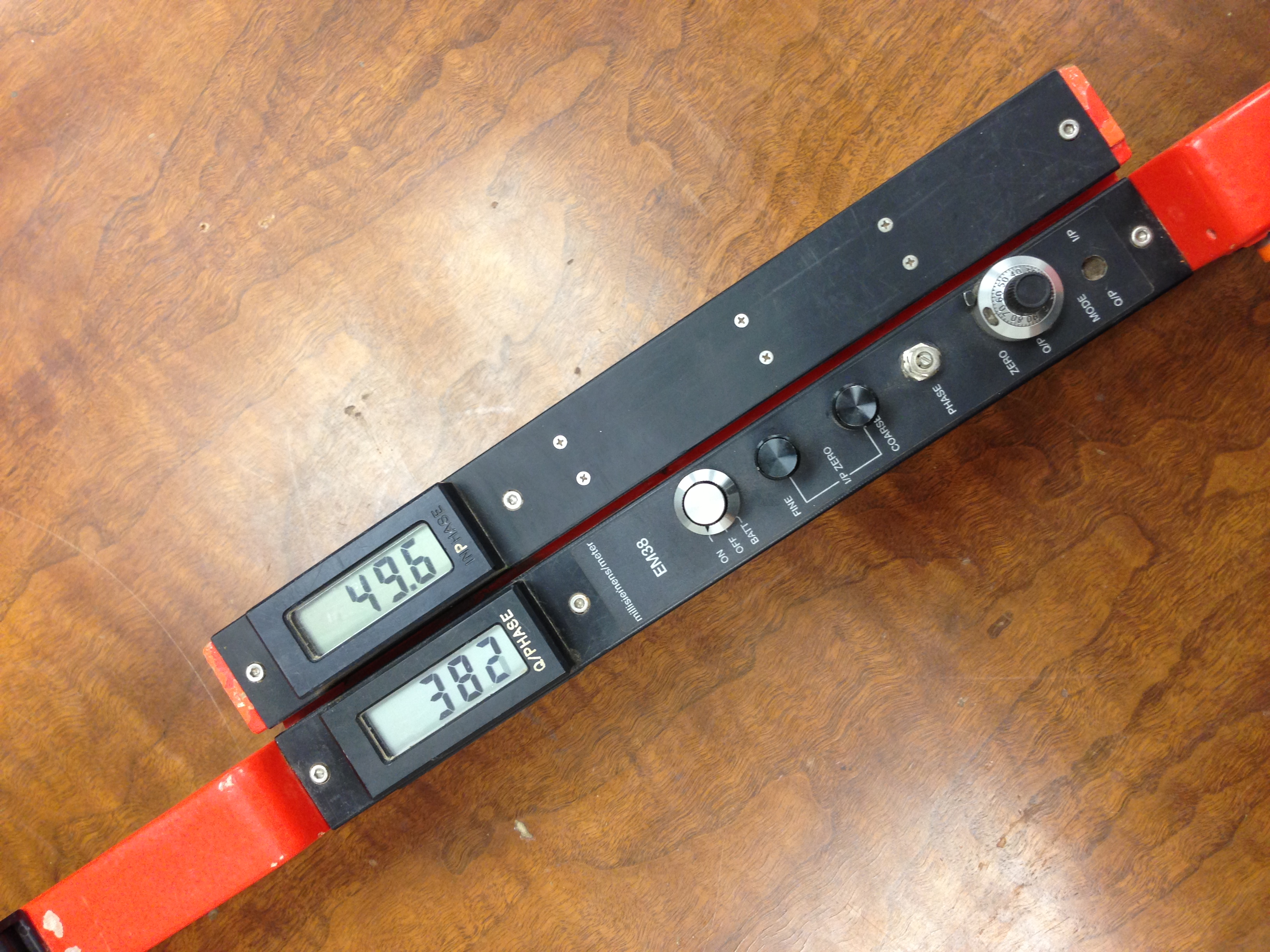
Photos shows EM38B without optional data logger and connecting cable. Current data loggers that could be mated are: a: Juniper Systems Archer running Windows Mobile or b: Juniper Systems Archer2 running Windows Embedded. Either can be purchased used from our inventory. Please inquire.
46 X 5 X 7 inches
58 lbs
$6,200.00
Geonics EM38 logging manual Geonics EM38 logging manual for Archer
Geonics EM38 Operating Manual Geonics EM38 Operating Manual
Ask a question about this item
*(Does not include shipping or insurance)