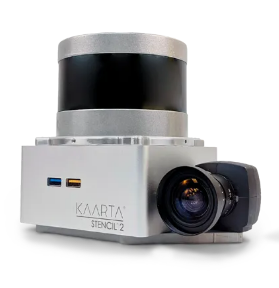
Survey KAARTA STENCIL SLAM TERRESTRIAL LIDAR SYSTEM
#115001
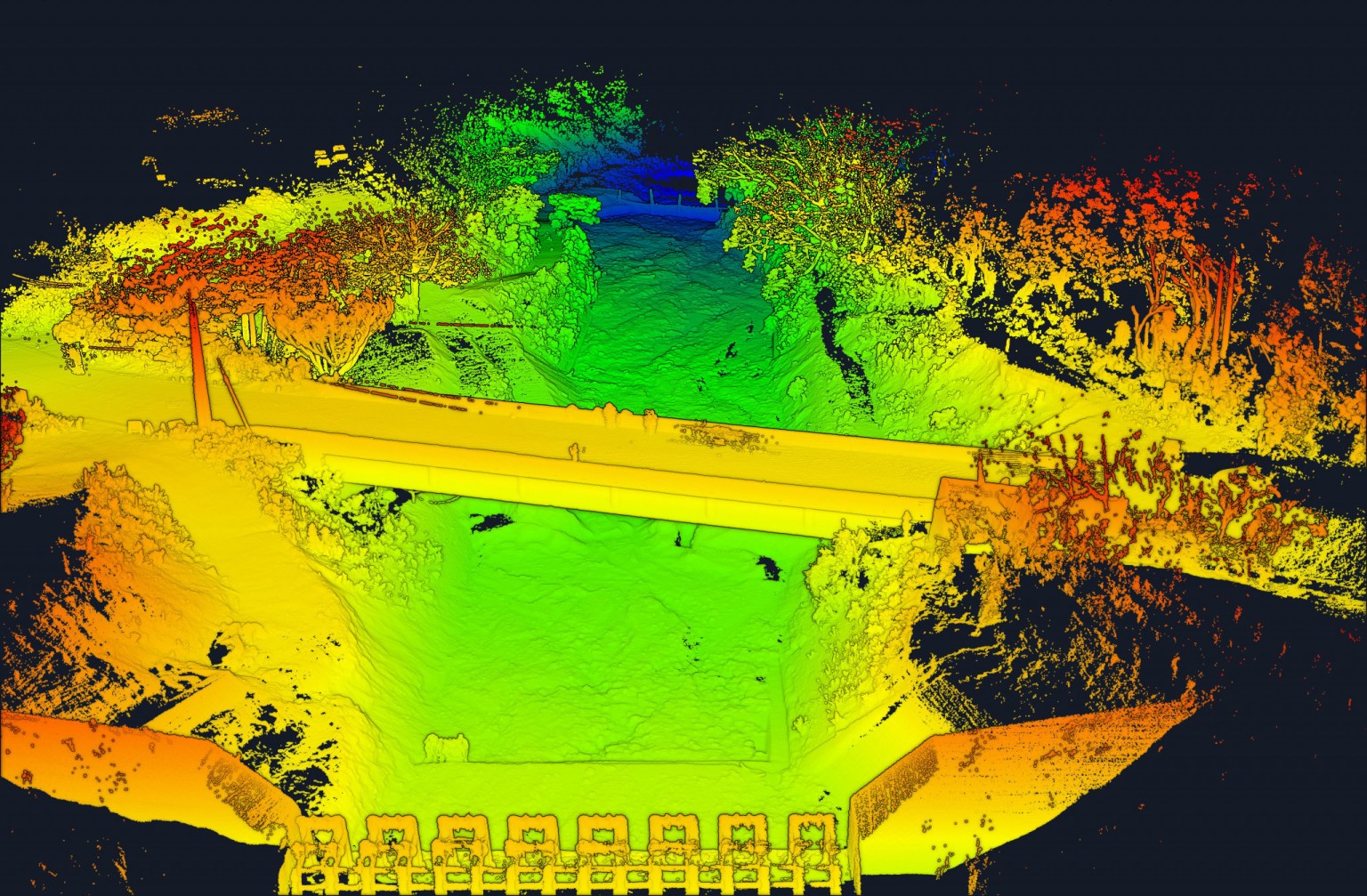
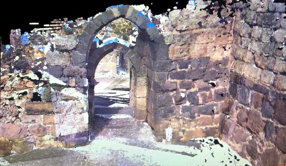
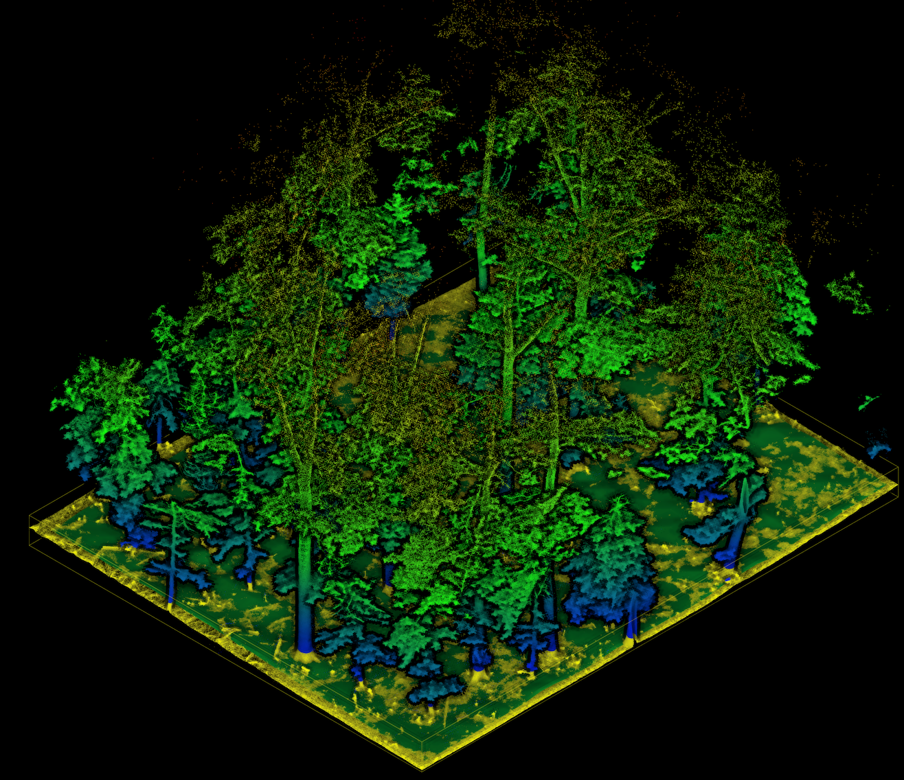
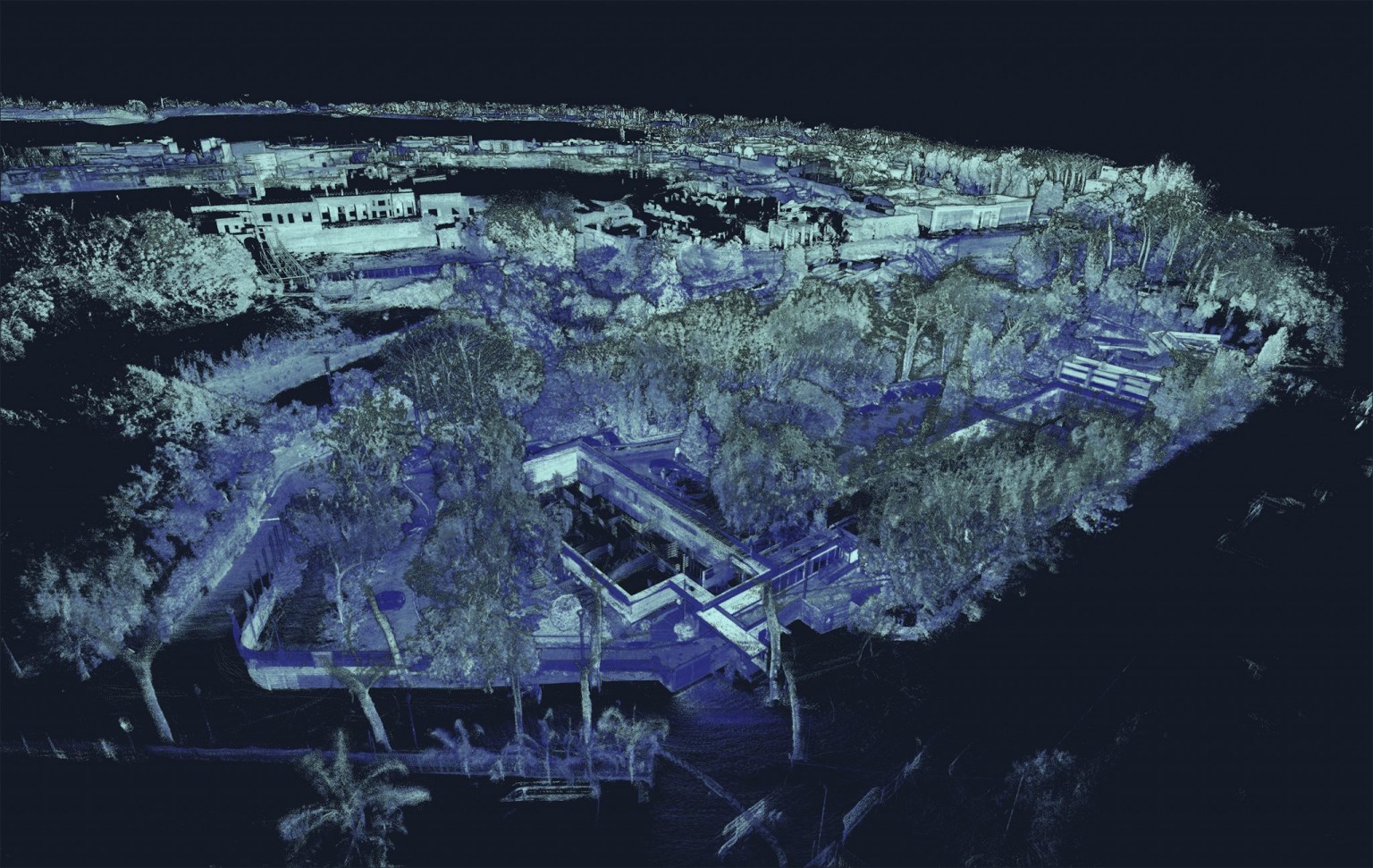
Kaarta Stencil 2 is a great platform for rapid, long-range mobile mapping; a computer small enough to fit in your hand but powerful enough to process and view any of the data it captures. Stencil 2’s integrated 3D mapping and real-time position estimation allows capabilities not possible with other terrestrial laser scanning systems. Stencil 2 accurately maps exterior and large interior spaces quickly and easily with a range of up to 100 meters.
Easily deployed for integration with some other sensor for SLAM (Simultaneous Location and Mapping) positioning accuracy under canopy or just on its own, the Stencil system has great applications in UXO clearance, archaeology, power line mapping, power plant mapping, etc.
|
Range |
100m / 328ft |
| Data Rate | 300,000 points per second |
| Field of View | 360° horizontal FOV 30° (+15° to -15°) vertical FOV |
| Rate | ~ 2.5 hrs to scan 10,000m2 / 110,000ft2 |
| Accuracy | Laser accurate to ± 30mm / ± 1.2in |
| Formats | .ply files or .las |
| Storage | 1TB SSD |
| Weight | 1730g (3.8lbs) |
 |
 |
 |
 |
$360.00
$200.00
$50,000.00
Ask a question about this item
*(Does not include shipping or insurance)