sTEM10
Illustration, not survey data. Actual depth depends on site conditions and survey design.
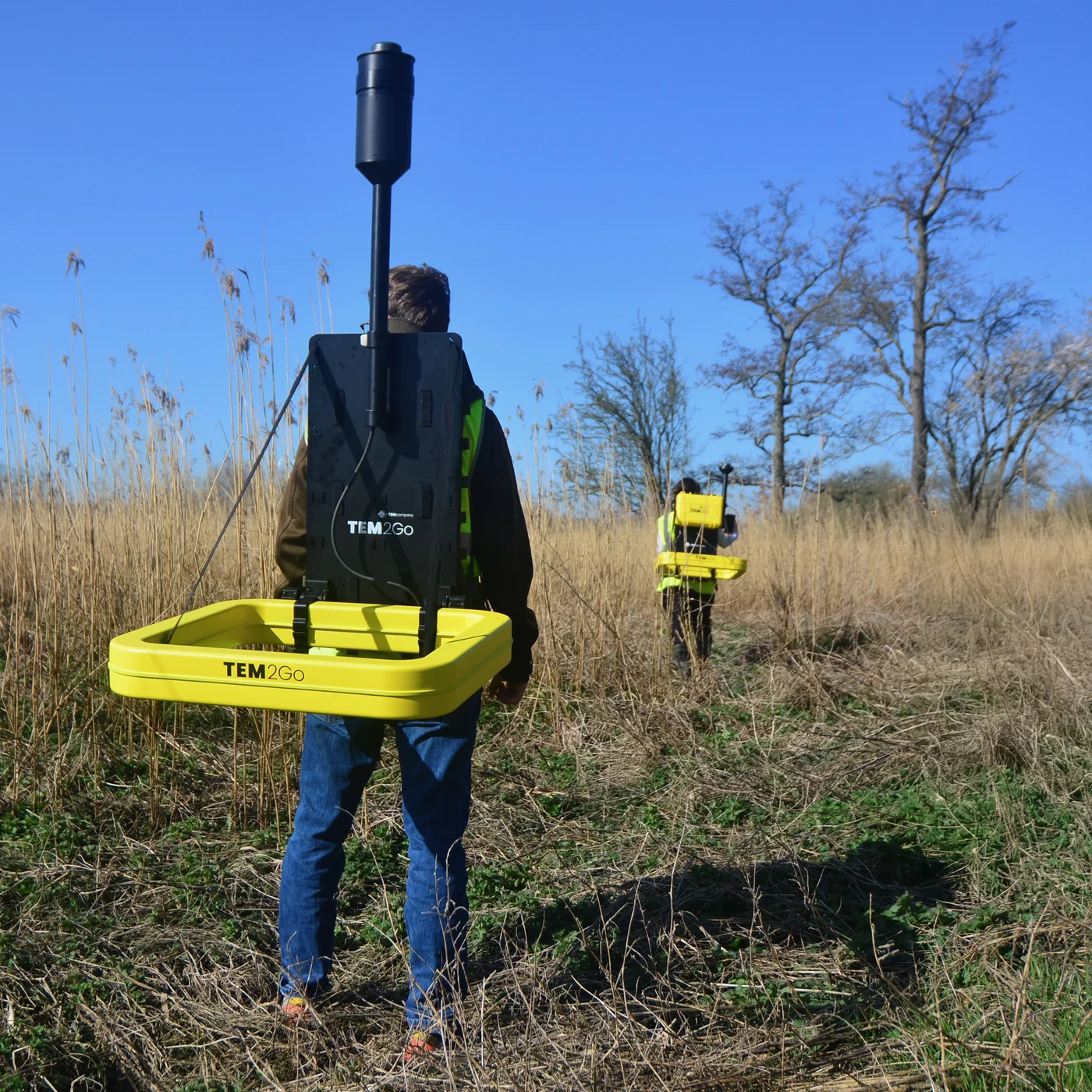
The sTEM system maps subsurface geological layers, making it ideal for locating new groundwater wells and estimating the extent of aquifers and groundwater recharge potential.
The sTEM can also be used to locate large fractures in the bedrock and estimate the thickness of a weathered overburden. Mapping surface layers to identify the best sites for artificial infiltration of surface water into aquifers is another use of the sTEM.
The system is designed for ease of use and requires limited training for a field crew. All sTEM instruments are operated from an iOS or Android App, and data is processed on a Windows PC.
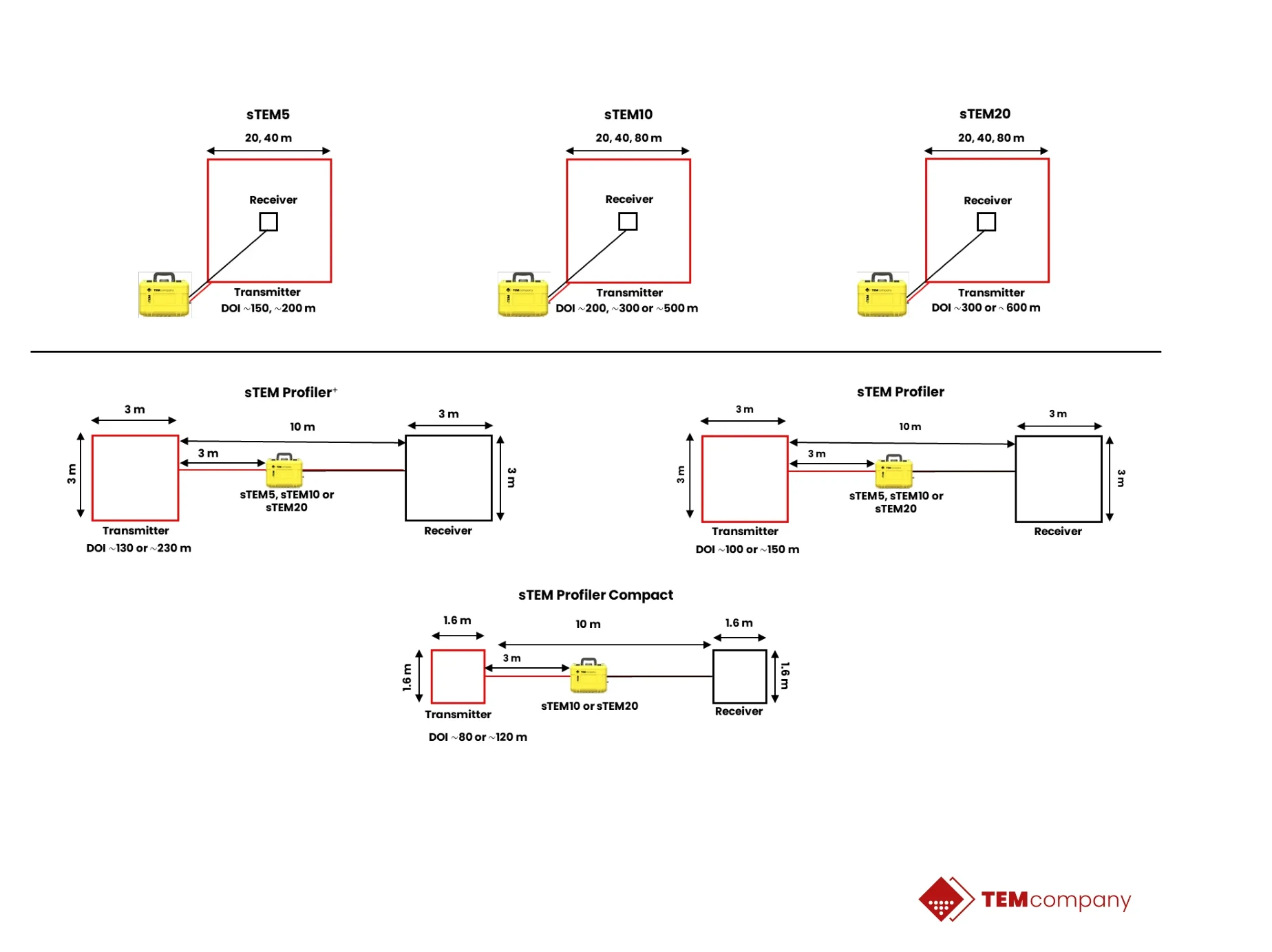
Conducting single-site measurements, capturing data reaching depths between 200 m (656 ft) and 500 m (1650 ft). The sTEM10 is operated via an Android or iOS app.
| Central transmitter loops | 20 × 20 m · 40 × 40 m · 80 × 80 m |
|---|---|
| Profiler configuration | sTEM Profiler+ · 3 × 3 m |
| Maximum current | 10 Amp |
| Depth Range | 0 - 500 m (1650 ft) |
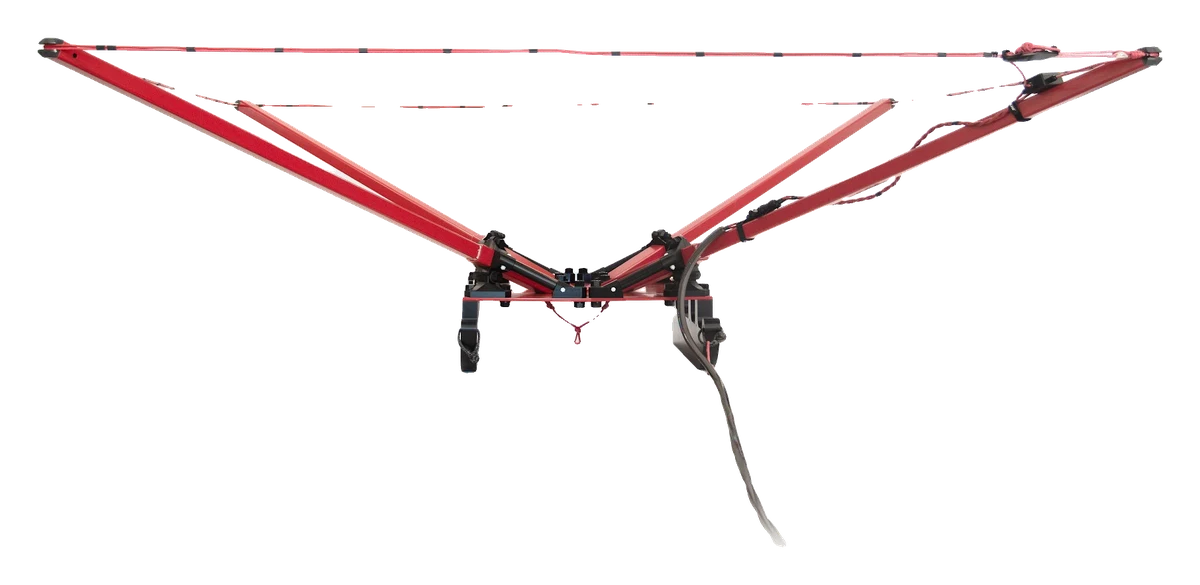
- The classic in-loop configuration using a 40x40m single-turn transmitter wire as deployed here. The heavier 80x80m loop for a depth of up to 500m can be used as well.
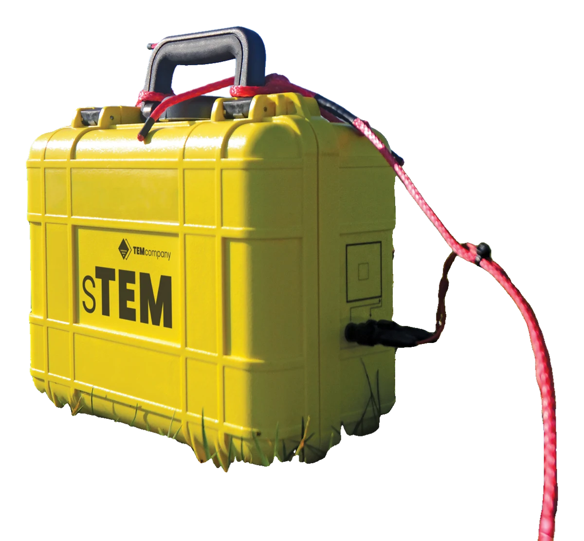
- Transit case with sTEM
- Batteries and charger
- Choice of Tx and Rx loop configuration
Build your rental
Pick your dates and we will confirm availability, final rates, and a proposal, usually the same business day.
Choose your dates
Rental days run door to door and include weekends. From 28 days the monthly rate applies automatically.
Shipping
Rentals travel on your own carrier account in both directions, so freight is billed to you directly and never marked up by us.