Electromagnetic TEMcompany sTEM5
#102035

The sTEM system maps subsurface geological layers, making it ideal for locating new groundwater wells and estimating the extent of aquifers and groundwater recharge potential.
The sTEM can also be used to locate large fractures in the bedrock and estimate the thickness of a weathered overburden. Mapping surface layers to identify the best sites for artificial infiltration of surface water into aquifers is another use of the sTEM.
The system is designed for ease of use and requires limited training for a field crew. All sTEM instruments are operated from an iOS or Android App, and data is processed on a Windows PC.
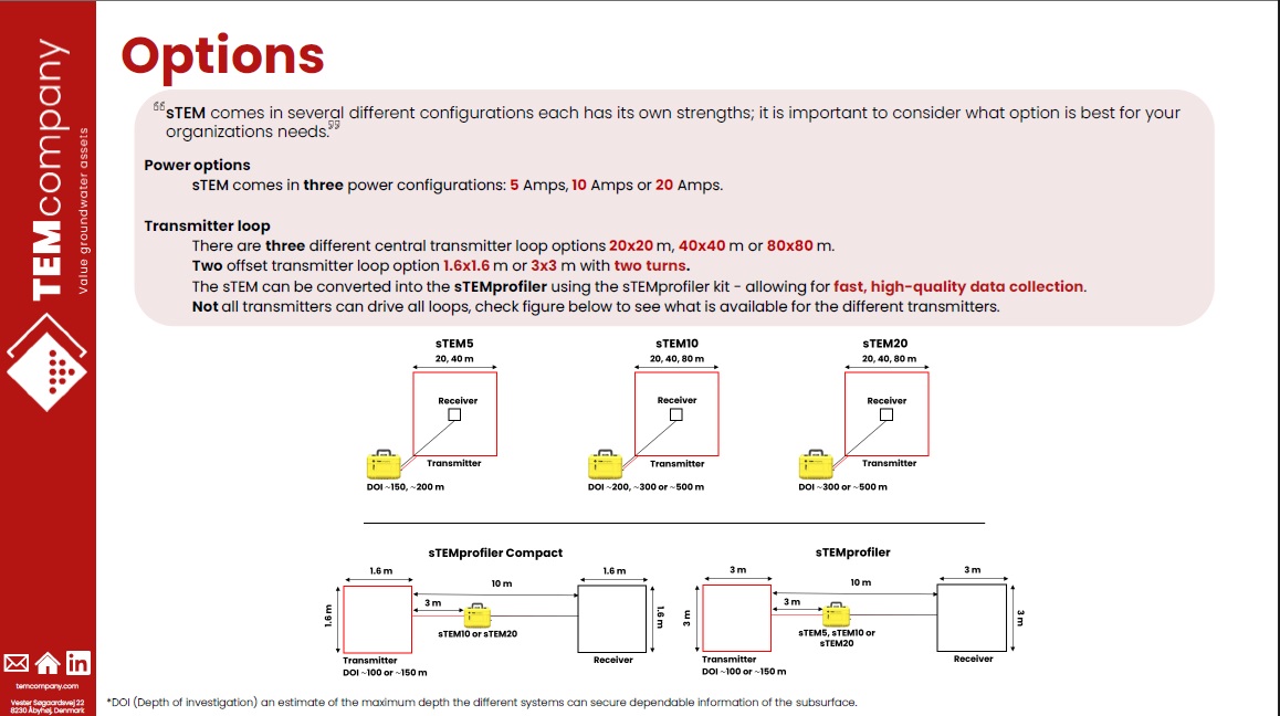
EXI offers the sTEM 5 amp system in two configurations for deployment: the classic in-loop configuration using a 40x40m single-turn transmitter wire or the 3x3m Profiler rig. The 40m loops will be used to image depths to 600 feet while the Profiler is designed for more rapid mapping of the top 300 feet.

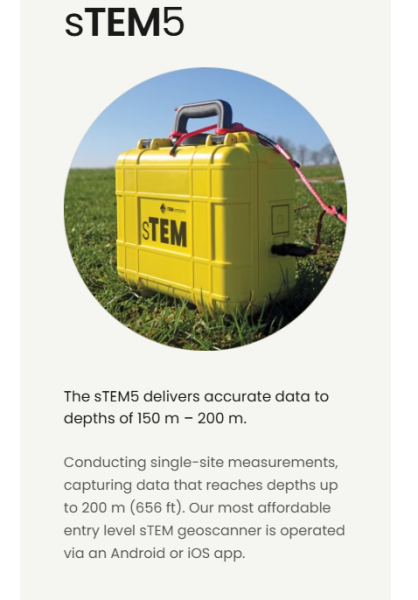
The sTEM5.
Dual moment system
Low moment current – 1 Amp
High moment current – 5 Amp
Number of Rx channels – 1
Power – (14.4 V, 6.8 Ah, 99.4 Wh) 2 batteries
Tx loop options – 20×20 m, 40×40 m
Waveform recording – Pre-recorded
Control app – iOS, Android
Pulse on/off times – Pre-defined
LM On-time/Off-time – 46%/54%
HM On-time/Off-time -30%/70%
Service and upgrades – Via Internet
Ships in two packages:
sTEM with 40m transmitting wire 77lbs
sTEM without 40m wire 48lbs
sTEM Profiler kit 50lbs
127 lbs
$300.00
$250.00
$40,000.00
Ask a question about this item
*(Does not include shipping or insurance)